One of my major activities is the development of predictive models for natural hazards, and making them freely-available as webtools. These models are being developed as part of my projects, and their implementation is led by Mark Woodhouse as part of his VolcTools NERC Knowledge Exchange Fellowship
Available models are described briefly below – for further information, please contact me.
PlumeRise
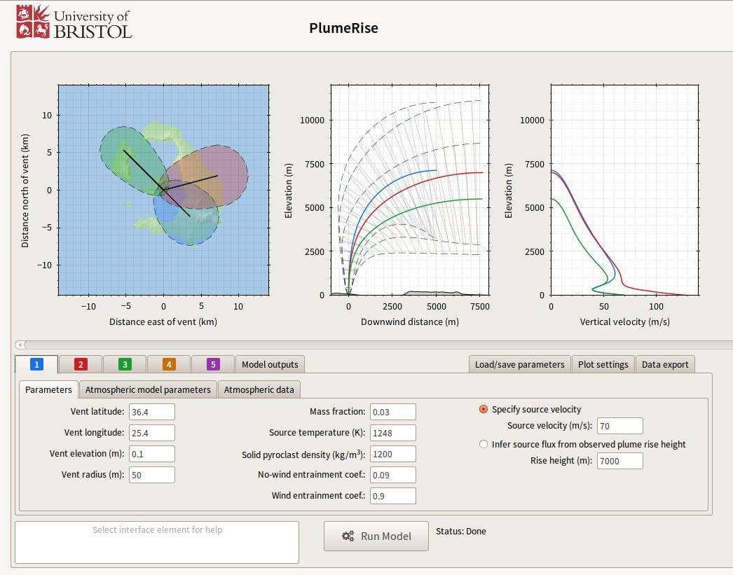
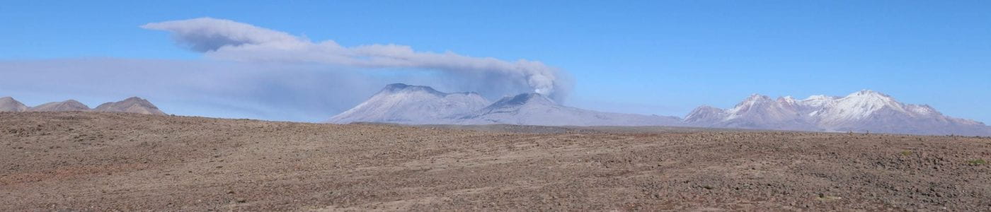
The rise height of a volcanic plume in the atmosphere can be directly related to the explosive mass eruption rate (MER) at its source. In the event of an explosive eruption, using plume height to estimate MER is a critical action to allow modelling of dispersion of volcanic ash in the atmosphere. Plume height is critically affected by the atmospheric wind – under windy conditions, a plume with a given MER will not rise as high as it would under still conditions. PlumeRise is a model that allows the rise height of a volcanic plume to be related to its MER accounting for the effect of the wind. It can be used operationally during a volcanic eruption to estimate MER directly from observations of plume height and atmospheric wind speed profiles either in a standard atmosphere or from radiosonde data.
PlumeRise has been used by 514 users in 26 countries, including operationally for aviation safety by Volcanic Ash Advisory Centres. PlumeRise forecasts have been generated automatically during volcanic crises including for Bardabunga (Iceland) in 2014 and Nevado del Ruiz (Colombia) in 2016.
You can access PlumeRise here
LaharFlow
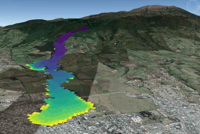
LaharFlow is a modelling framework for hazard assessment that can be applied to shallow erosive surface flows of water and sediment, including lahars (volcanic mudflows), debris flows, flash floods, glacial lake outburst floods, and wet landslides. LaharFlow solves the shallow layer equations including inertial terms (essential for energetic flows on steep topography) and incorporates processes of substrate erosion and particle deposition that are strong controls on the dynamics of energetic natural sediment flows. The LaharFlow webtools has in-built global 30 m SRTM topography, with the facility for experienced users to upload their own higher resolution topographic mapping.
LaharFlow has been used by 190 users in 20 countries, particularly for sediment flow hazards that are common in Latin America. We provide full training in the use of this model typically via videoconference – please contact me for details.
You can access LaharFlow here